Risk of showers, into and through the early evening. Variable cloud through the evening, into and through the early hours.
Temperatures in the muggy category, falling to 16°C
WIND:-
Light and mainly from the ENE
Thank you for visiting my site, peterboroughweatherwatch.com, the website of choice for up to date local weather conditions. To find out a bit more about the site and its creator, click here. Please explore and enjoy !! All feedback is welcomed at peterboroughweatherwatch - This site is best viewed in FireFox. Please let me know if you see any display issues and I will fix them.
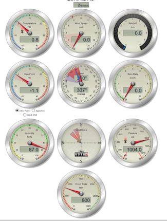
CURRENT WEATHER* :- Dry
|
Hi:20.6°C at 9:10am |
Lo:17.7°C at 5:49am |
Hum |
Dew |
Wetbulb |
81%
| 17.2°C |
18.5°C |
Gusting At |
Average |
||
NA |
NA | ||
NA |
|||
Pressure |
1022.0 hPa |
Steady |
Rainfall |
0.0 mm |
| Last Hr:0.0 mm |
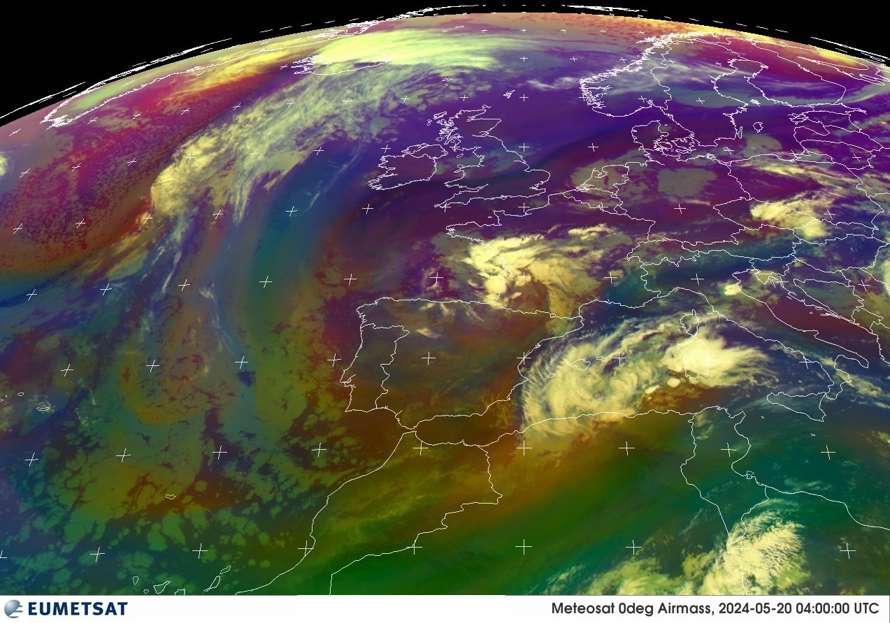
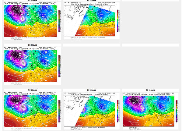
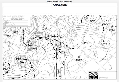
| LATEST AROUND THE REGION | ||
| Times are BST-1hr (UTC) | ||
| LATEST AROUND THE UK | ||
| Times are BST-1hr (UTC) | ||
| LATEST AROUND THE GLOBE | ||
| Times are BST-1hr (UTC) | ||
* SUNDAY 1ST MARCH IS THE START OF METEOROLOGICAL SPRING - ENDS 31ST MAY *
Sunrise 04.38 * Sunset 21:28
* 1ST OF JUNE WAS THE START OF METEOROLOGICAL SUMMER AND ENDS 31ST AUGUST *
FORECAST SUMMARY
Cloudy - Few Brighter Spells - Showers Risk Afternoon
* APOLOGIES FOR THE LATE UPDATE *
Although some early bright spells, the expected cloudier theme now in situ as I write. Cloudy theme through the morning, perhaps with some brighter spells in places. The generally cloudy theme continues into and through the afternoon and a risk of some showers developing in places.
Temperatures not as high as past couple of days, peaking in the 22°C to 24°C
WIND:-
A gentle breeze and mainly from theWSW
JUNE(2006-25) |
MeanMax |
21.3°C |
MeanMin |
11.7°C |
MonthMean |
16.4°C |
Rain |
49.0mm |
ON THIS DAY LAST YEAR |
THIS DAY HIGH AND LOW - (Since 2006) |
|||||||
Max Temp |
28.6°C |
Min Temp |
14.5°C |
2026 |
28.6°C |
2011 |
8.0°C |
|
Risk of showers, into and through the early evening. Variable cloud through the evening, into and through the early hours.
Temperatures in the muggy category, falling to 16°C
WIND:-
Light and mainly from the ENE
Sunrise 04:38 * Sunset 21:28
Hazy sunshine looks the theme throughout the day, alhough perhaps some cloud bubbling up and the seemingly low risk of a sharp shower sparking up mid/late afternoon.
Temperatures peaking in the very warm/hot category, at 25°C to 27°C
WIND:-
A gentle breeze and mainly from the NE/ENE

 |
* NEED TO FIND A NEW SOURCE FOR THE IMAGE * |
* NEED TO FIND A NEW SOURCE FOR THE IMAGE * |
 |
21-06-2026 06:31:58 Mag:4.6 Off the coast of Baja California Sur, Mexico |
21-06-2026 06:04:30 Mag:4.8 south of the Fiji Islands |
21-06-2026 02:33:28 Mag:4.7 80 km WSW of Padang, Indonesia |
20-06-2026 22:21:44 Mag:4.7 115 km SE of Severo-Kuril’sk, Russia |
20-06-2026 16:59:20 Mag:4.8 172 km SW of Hihifo, Tonga |