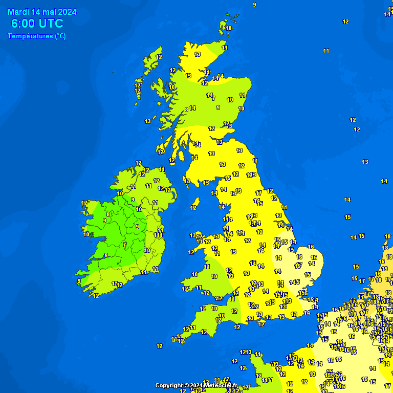
Hazy bright/sunny spells into and through the early evening. Variable cloud and clearer spells through the evening, into and through the early hours, Perhaps cloud amounts increasing through the later early hours
Temperatures falling to 11°C or 12°C
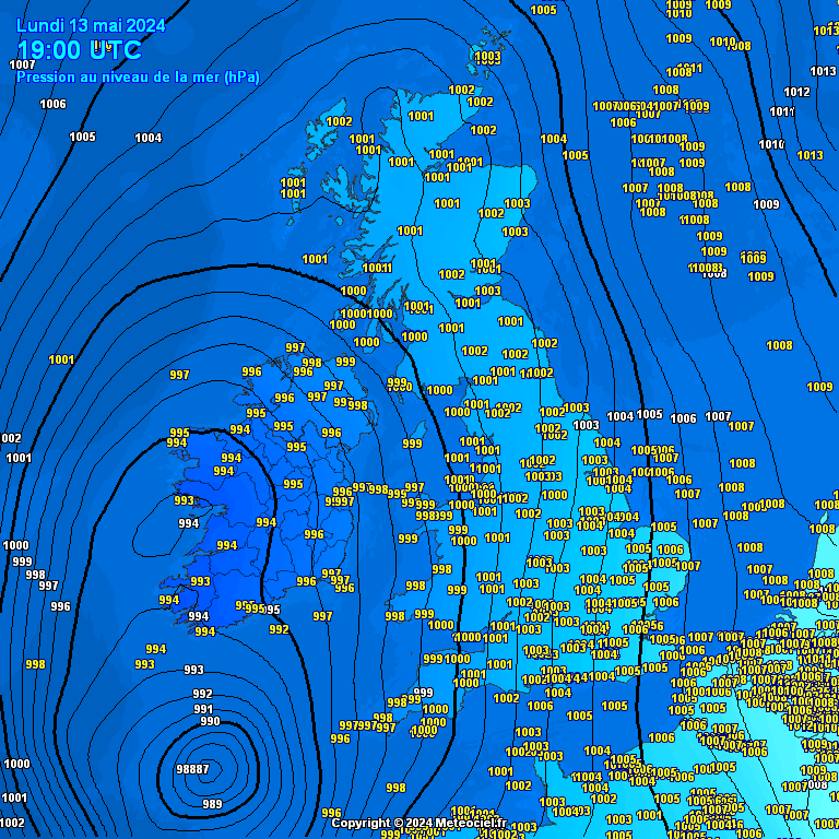
WIND:-
Falling light and mainly from NE initially, veering ENE/ESE for a time.